


What the «Atlas d'histoire vaudoise» reveals
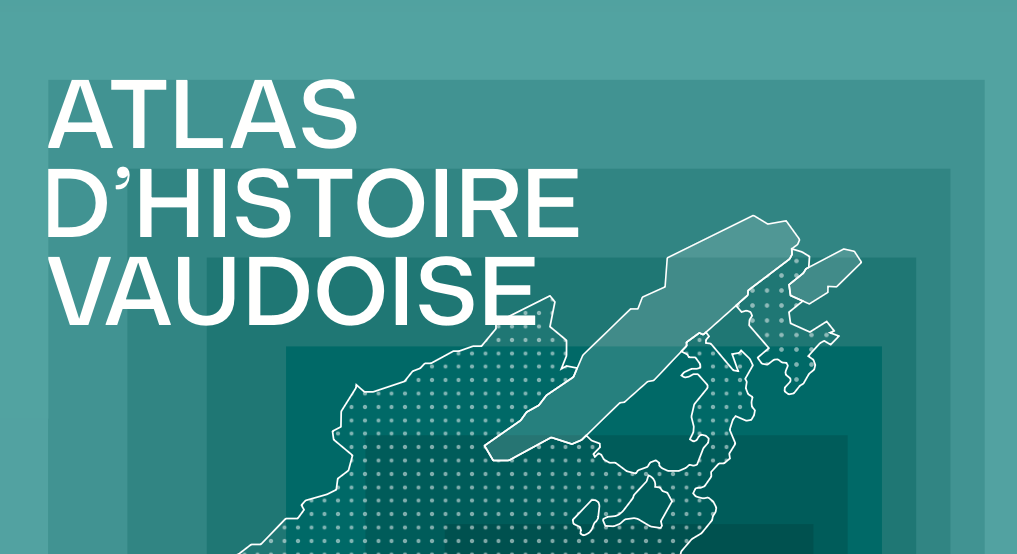
With 132 previously unpublished maps, the book co-edited by Corinne Chuard offers a visual and interactive reading of the past. By combining text and images, it sheds light on historical dynamics whose scope extends far beyond regional borders.
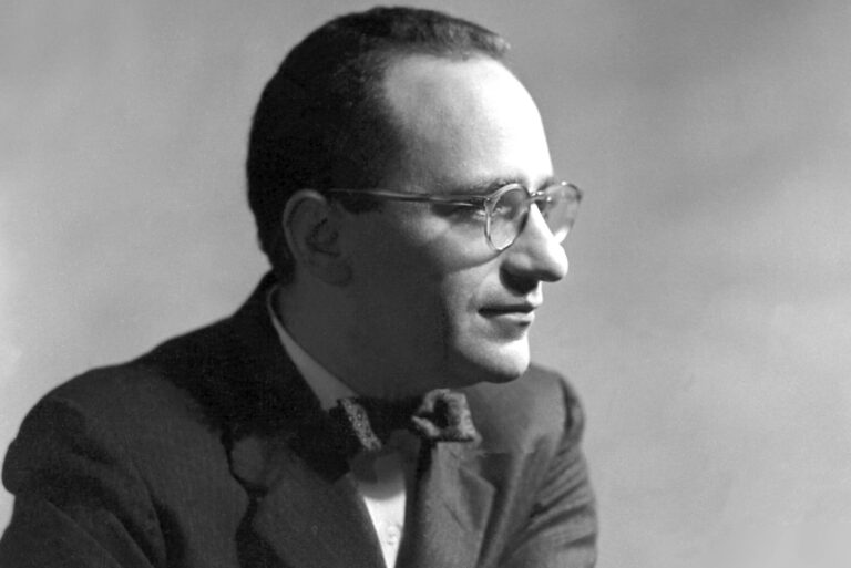
Co-director of’Atlas d’histoire vaudoise («Atlas of Waldensian History»), journalist Corinne Chuard, a historian by profession, looks back at the contributions of this format, which invites readers to navigate between maps and texts to better grasp the transformations of a territory. From the ancient mobility of frontiers to the meteoric rise of the 20th centuryth century, the book makes visible developments that are often abstract. An approach which, beyond the case of Vaud, sheds light on the general mechanisms of political, economic and social construction.
Le Regard LibreWhat does the atlas format offer compared with the two previous publications by the publishing association – the sum Waldensian history published in 2015 and its short version released in paperback in 2019, Waldensian history, an overview, which have both been publishing successes?
Corinne Chuard: When reading an atlas, the reader's involvement is different. This format enables them to visualize the evolution of a territory at a glance. Maps clearly have a playful dimension. The reader is called upon to decode, to «have fun» in the back-and-forth between the text and the map, which play with each other. While the map takes precedence, the’Atlas d’histoire vaudoise («Atlas of Waldensian History») nevertheless offers a text that provides the essential historical information on the canton. Between the text and the map, spread over two pages, there's a dynamic and a concern to keep the reader alert. It's a way of introducing them to the history of the canton of Vaud in a different, more participative and interactive way.
Are there equivalent approaches in other cantons?
Yes, several atlases have been published in recent years: the’Historical Atlas of Switzerland (Alphil, 2020), the’Historical Atlas of French-speaking Countries (Passé simple & Attinger, 2020), or the’Historical Atlas of the Geneva Region (La Salévienne, 2014, 2017, 2019), and, more recently, the canton of Graubünden.
What's the most surprising thing these 132 maps reveal about the canton of Vaud and beyond?
The canton of Vaud is new. It dates back only two centuries. For millennia, it has been a territory whose boundaries were indeed mobile, not necessarily very fixed, or at least less fixed than today. But geographically, it has always been at the center of trade and trade routes. That said, it's undoubtedly in the last chapter, devoted to the contemporary period, that we become aware of the extraordinary and very rapid evolution of this territory: during the first decades of the twentieth century, the canton of Vaud left behind its origins in the French-speaking world.th century, its predominantly rural character to become a canton with a dominant service sector. Maps, graphs and timelines show the speed of this change, particularly perceptible at the demographic, economic and political levels. It's all happening in just a few decades. We all knew that. But with this atlas, we can see it!
Historian Olivier Meuwly, the other co-director of the book, points out that the canton of Vaud was particularly hard hit by the crises of the 1990s. How does the canton's history compare with that of the rest of Switzerland?
Until 1798, the canton of Vaud was a subject territory, and it was not until 1803, when it became a canton equal to the others within the Confederation, that it was truly organized in its own right. At that time, it adopted republican-type institutions, giving it a particular sensitivity to the major political ideas that emerged after the fall of Napoleon. It played a key role in the rise of liberalism and radicalism, and was often a pioneer in many areas, such as semi-direct democracy as we know it in Switzerland today.
The Pays de Vaud region has a lot to offer changed over time, what holds it together?
Geography. Of course, it hasn't changed: this territory, situated between the Jura, Lake Geneva and the Alps, must have quickly given its inhabitants a sense of belonging.
In his afterword, journalist Jacques Poget recalls the sometimes virulent debates on cartographic details. Tell us more...
The debates were lively, but always very cordial! Each subject has been dealt with by an expert on the period, with the utmost precision in his or her map. And that's what makes this work so valuable: it's aimed at a wide readership, but provides in-depth information on every stage of history, while remaining accessible in its presentation. This atlas contains some 1,000 years of historical research on the canton of Vaud... So, of course, the task of synthesizing the information was not always easy!
Does cartographic work sometimes involve simplifying - or even settling - complex historical debates?
Historical mapping requires the historian to draw a line on a frontier. But this is not always possible. It has sometimes been necessary to resort to graphic nuances - a blurred border or a dotted line, for example - to get around a «shortcoming» in the sources or in current historical knowledge. This was obviously particularly true for the early stages of the Vaudois territory. But I don't think that the map has the mission of arbitrating possible historiographical conflicts. Above all, the detour via the map has made it possible to highlight aspects that are sometimes overlooked by a more linear narrative of history.
Is there a card that was particularly difficult to produce or validate?
The vast majority of the cards are unpublished. They all require a great deal of attention to historical detail. For example, was it necessary to mention a port in Nyon during the Roman period, when no archaeological research could confirm this? The answer was: no! But the most difficult map to draw was undoubtedly the one devoted to the construction of the intercantonal borders of the canton of Vaud from the Middle Ages to 1815. The aim of this map is to show how the extraordinary lacework of the region was woven, and at what point in history (Burgundian wars, conquest of the Pays de Vaud, Helvetic Republic...) the borders were established. It was a fascinating experience!
Do any of the cards resonate with current debates?
With current debates, probably not, except perhaps those covering the XIXth century.th and XXth centuries, illustrating the canton's tremendous «shift» towards the Lake Geneva region. But with current «historical» events: yes! Just think of the fascinating maps explaining the geopolitical context of the Burgundian Wars, as we celebrate the 550th anniversary of the French Revolution this year.th anniversary of the battles of Grandson and Murten!
Are there any grey areas in Vaud's history that even this Atlas fails to fill?
We really wanted to know how the communes came into being in concrete terms, and when their boundaries were fixed... We had to accept the fact that this is an area of history still to be explored!
Graduate in philosophy and journalist by profession, Jonas Follonier is the founder and editor-in-chief of the Regard Libre.
Order a copy of’Atlas d’histoire vaudoise («Atlas of Waldensian History») at the preferential rate of 54 francs - instead of 64 francs - by sending an e-mail to politique-histoire@bluewin.ch.
And don't miss the lecture by OIivier Meuwly, co-director of the book, on Thursday June 11 at 7pm at the Cercle démocratique de Lausanne (Place de la Riponne 1). Attendance is mandatory, but registration is required: Registration page
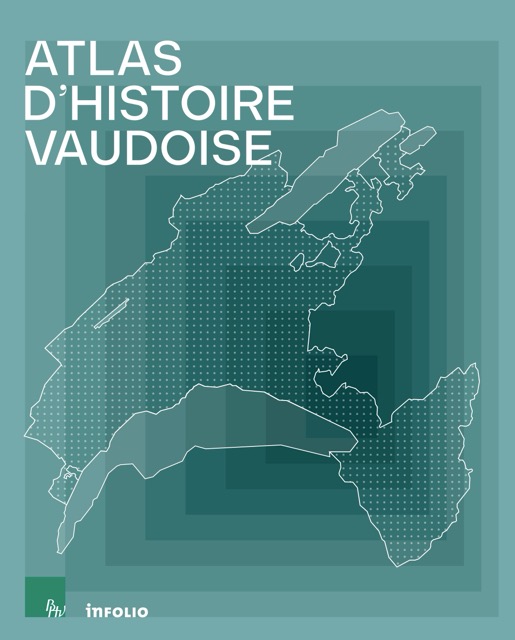
Corinne Chuard and Olivier Meuwly (dir.)
Atlas d’histoire vaudoise («Atlas of Waldensian History»)
Infolio
October 2025
208 pages
You have just read an interview published in our paper edition (Le Regard Libre N°126).

You'll also like


Leave a comment